Day 12 August 4, 2026 New Providence Northwest Territories to Fort Vermilion Alberta 316.2 miles
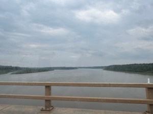
This is another day of backtracking. Therefore no new sites to see. We followed the MacKenzie River for several miles. It’s a big River comparable to the Mississippi River. We didn’t see any boats or barges however.
We hadn’t gone far when a light rain began to fall. It stayed with us most of the day. Heavier in some areas. No use taking pictures because they would all have polka dots. Wet polka dots.
When we got to the Hay River the wind really picked up. Might be a similar thing to the Columbia River gorge. The river does flow through a gorge in this area. The wind does seem to really affect our gas mileage. It drops two to three miles per gallon.

We fueled in High Level just to be sure. A guy there said he had seen us a few days ago but neglected to get a picture. He took one now. Another guy had a picture of when we were here a few years ago. We are helping to make memories.

Once we crossed the border into Alberta the forested land decreased and the farm land increased. Back were the grain and canola fields.
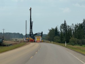
The GPS was telling us the hotel was 49 miles away. We stopped and some of the locals came over. They told us where the hotel was located. We found it and Rob went in to check. He came back out and said they claim to be booked full. Rob says the trailer looked much better than any of the rooms possibly could. We had the address of a campground and headed there. It is located about six miles out of town. The campground seems empty for where we can see. We pulled into the first site since it is a drive through and set up camp. We ate dinner at the picnic table and then got back in the car before the rain started.
The car is running fine. The refrigerator that stopped working a few days ago is trying to freeze everything. The refer did not get the memo about living a life in moderation.


 Spoffords Travel